

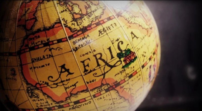
A Reuters analysis showed that the image contained a watermark indicating it was created using OpenAI tools. The company did not respond to the agency's request. On the map, Nigeria was placed in the Sahara without access to the sea, Mozambique was moved to the Horn of Africa, and Côte d'Ivoire was positioned on the opposite side of the continent. The State Department took "full responsibility" for the incident. The department explained that a team member hastily made changes to the presentation before the event. Images of the map first appeared in a post by AIDS expert Emily Bass and then spread on LinkedIn. One of the posts garnered about 40,000 views. "Whoever created and approved this slide did not know where the countries of Africa are and did not think it necessary to check the work," wrote Matt Petit, an expert on artificial intelligence and geopolitics at the Atlantic Council.